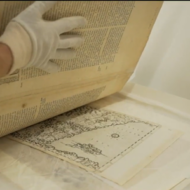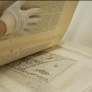
VIDEO: Israeli University’s Ancient Maps Reveal Holy Land’s History

Haifa University’s collection of ancient maps reveals how Europeans perceived the Holy Land in the Middle Ages.
“The historical documents are at the intersection of science and religion, as mapmakers made their first attempts to pin down the locations of biblical events, and reveal what people thought of the land of Israel 500 years ago,” reports i24 News.
Emily Frances discusses Haifa University’s collection of ancient maps on “Holy Land Uncovered.”
Check out the segment below.
(adsbygoogle = window.adsbygoogle || []).push({});
(adsbygoogle = window.adsbygoogle || []).push({});
(adsbygoogle = window.adsbygoogle || []).push({});
(adsbygoogle = window.adsbygoogle || []).push({});
Bring Purim Joy to Israeli Victims of Terror!
Join us in providing Israeli victims of terror and Jewish refugees from Ukraine – who have suffered terribly – with much needed comfort, blessing and holiday joy.
Families have been destroyed by ongoing terror attacks. Orphans have been rescued to Israel from brutal bombings in Ukraine. They need our compassion and love!
Brighten their holiday by sending beautiful Purim food baskets, yummy treats, personal notes and amazing toys for the children.
CLICK HERE TO SEND YOUR PURIM GIFT & PERSONAL NOTE TO THE VICTIMS
The post WATCH: Israeli University’s Ancient Maps Reveal Holy Land’s History first appeared on United with Israel.
United with Israel
